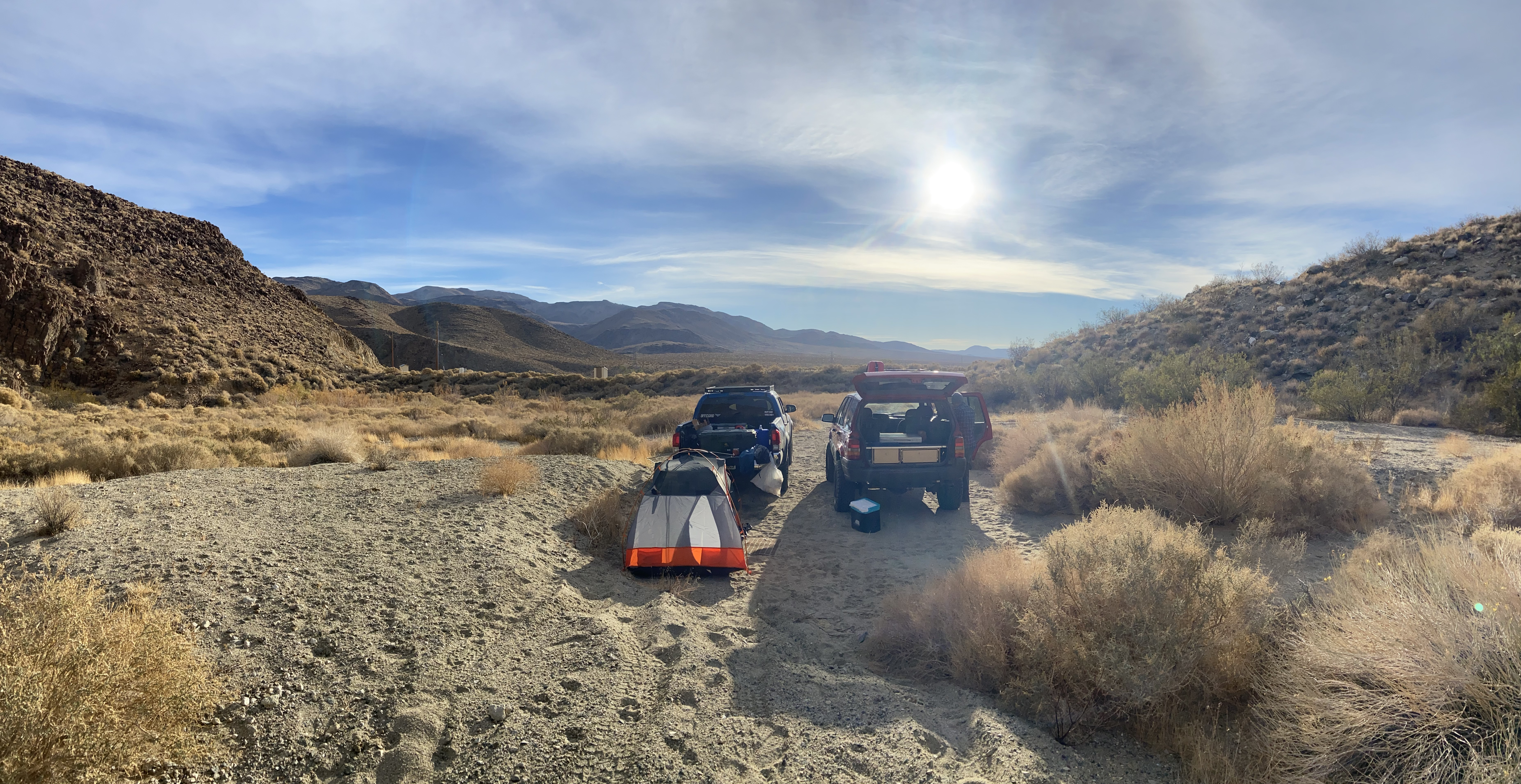
Brent and I left Orange County on a Friday night after work with no plan beyond "drive until we're tired." About three hours up the 395, we found an out-of-the-way spot near South Haiwee Reservoir, maybe five minutes off the highway, and called it a night. We woke to cold desert air and a sky that was already getting interesting. After a quick breakfast, we hit the road north toward Cerro Gordo.
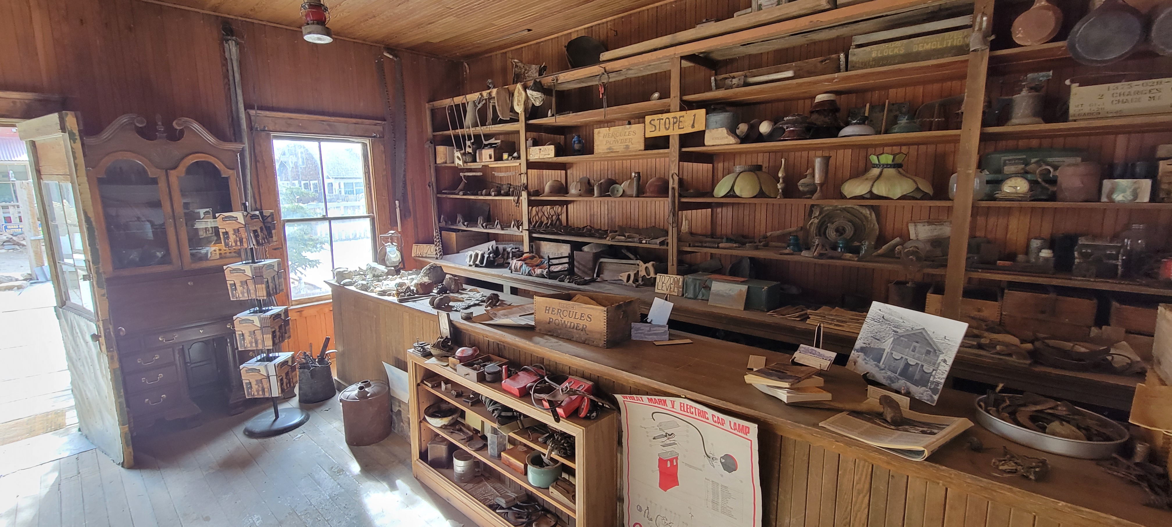
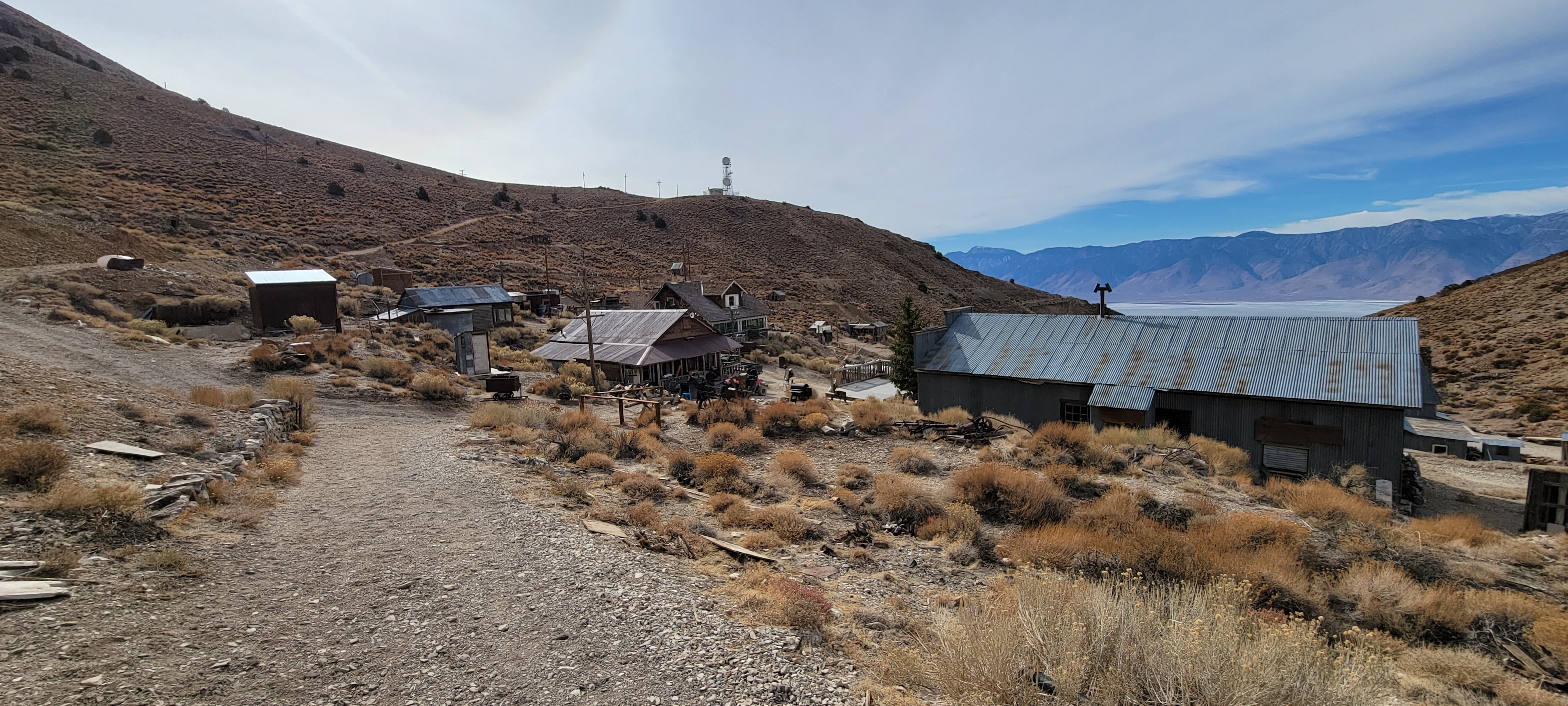
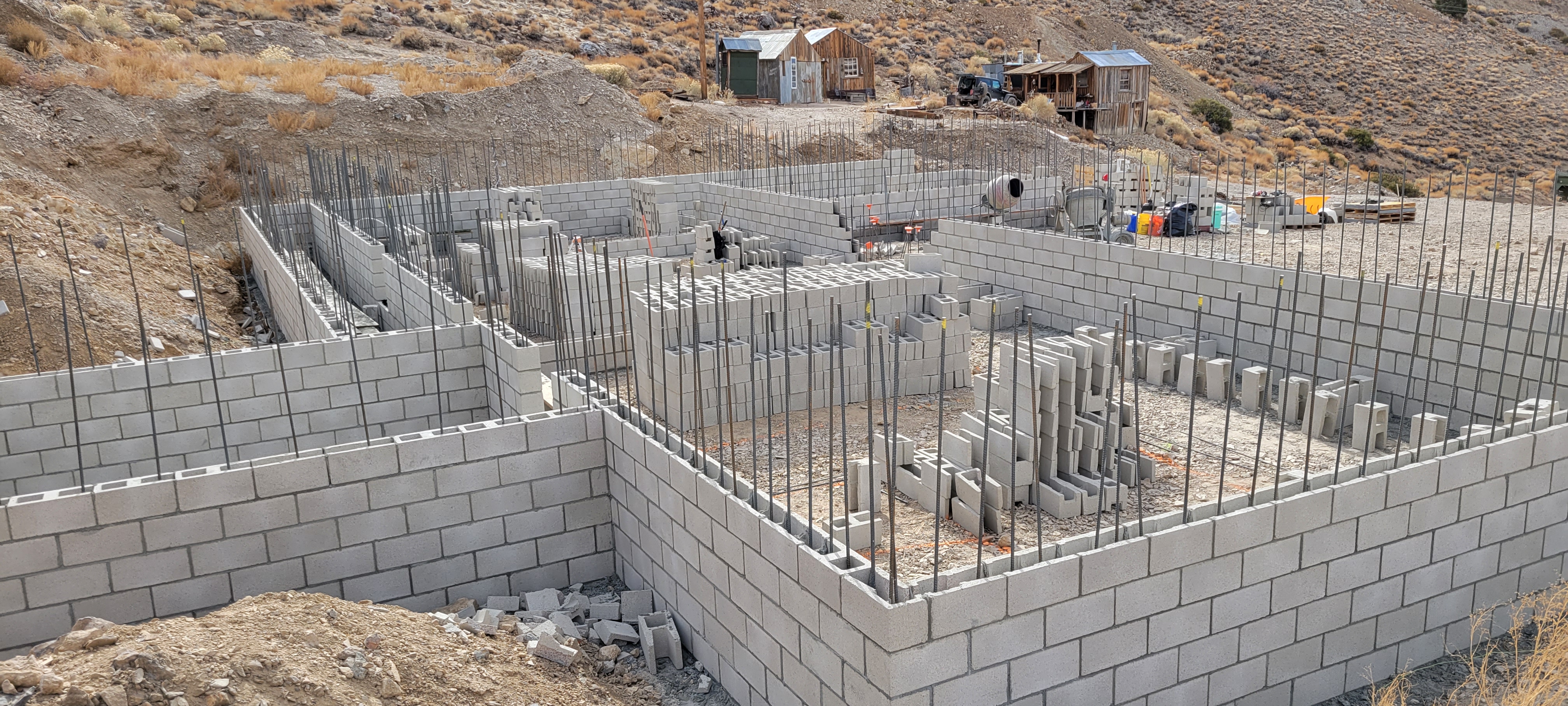
Cerro Gordo sits high up in the Inyo Mountains and the drive to get there is deceivingly long. You gain a lot of elevation and a high clearance vehicle is recommended, if not required depending on conditions. But the town itself rewards the effort. It's a genuine silver and lead mining ghost town, and the town owner has been putting serious work into restoring the old hotel. We spent about an hour poking through the general store museum and walking the grounds before hunger started winning.
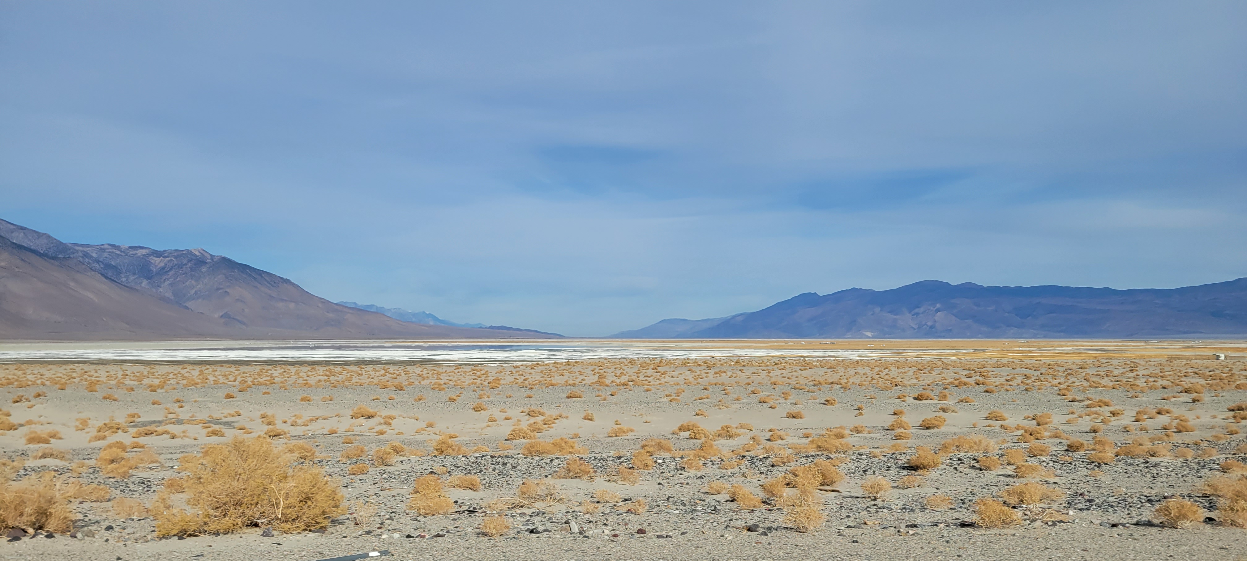
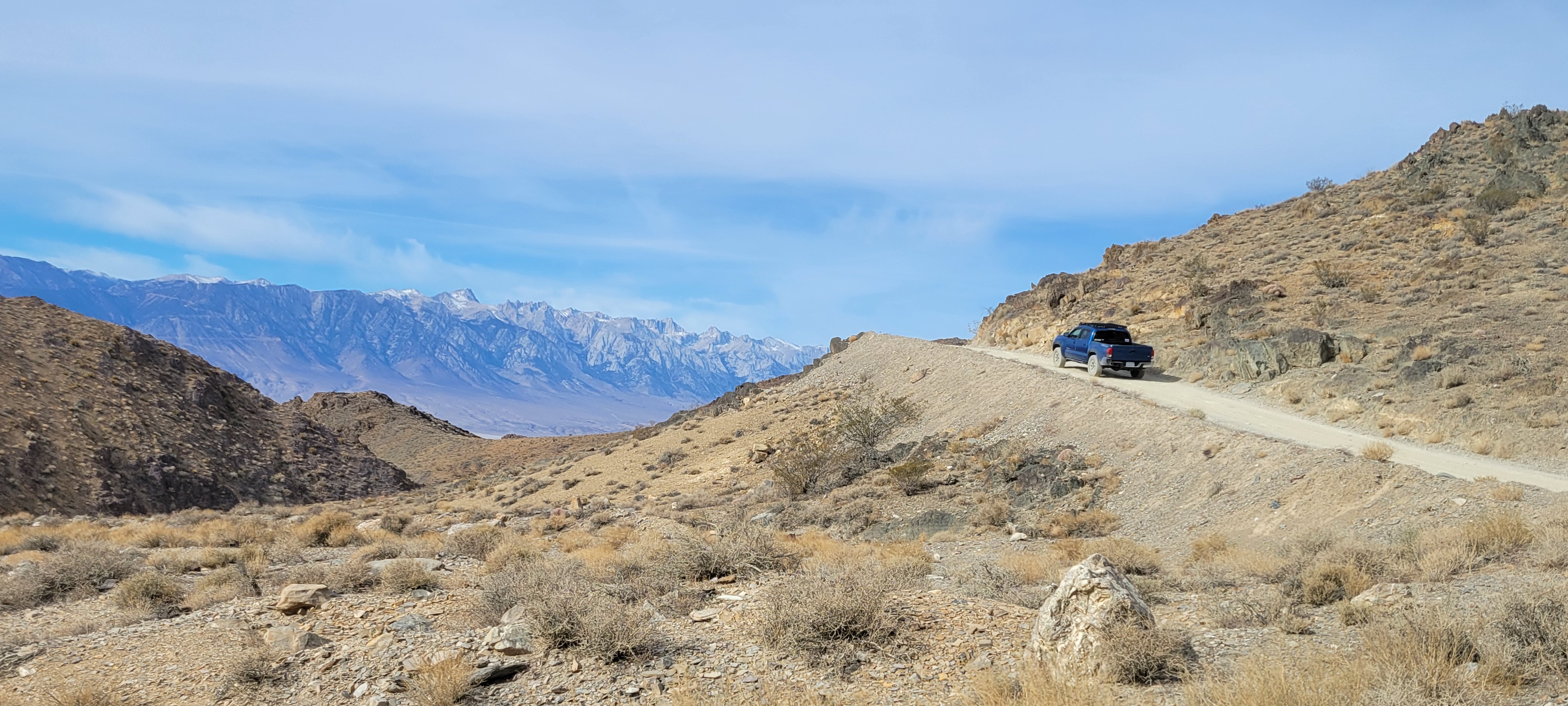
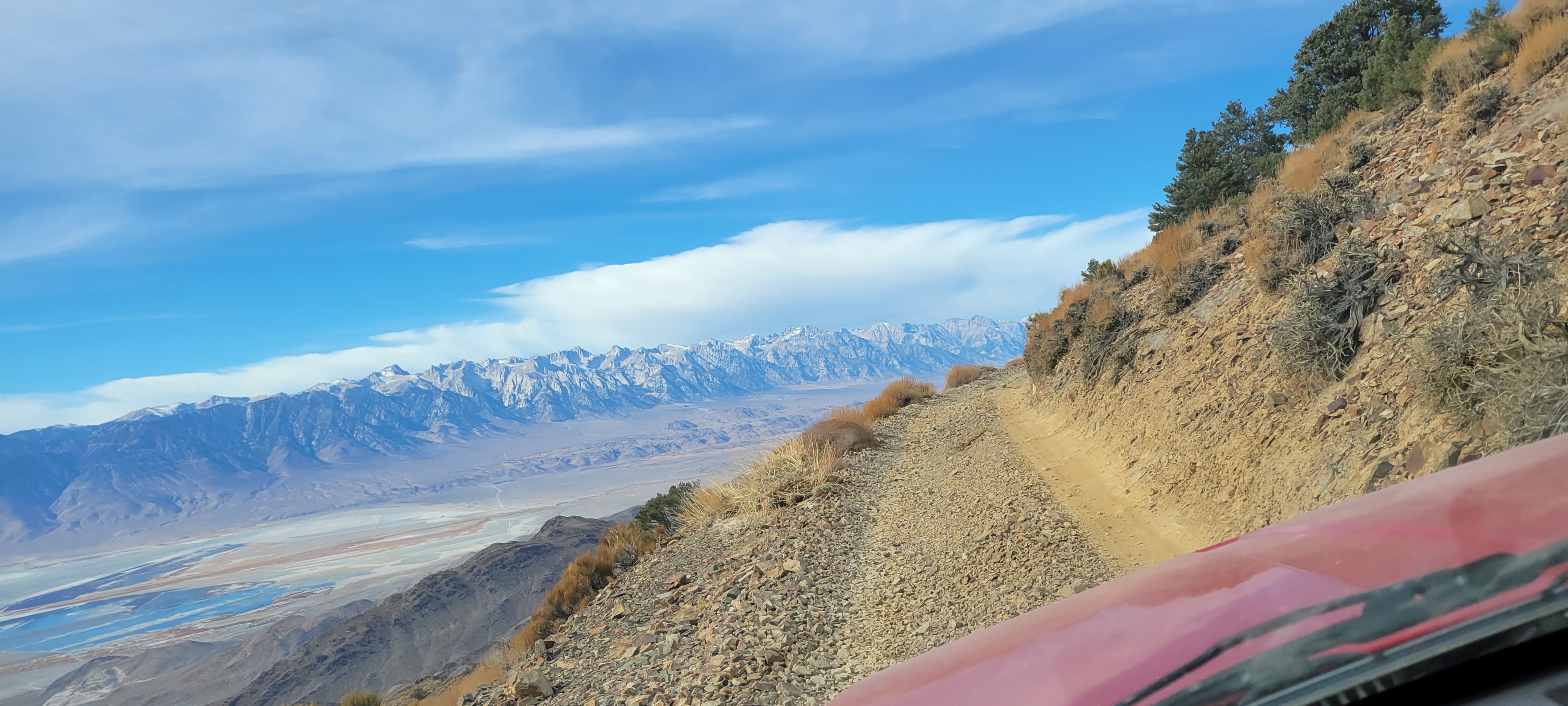
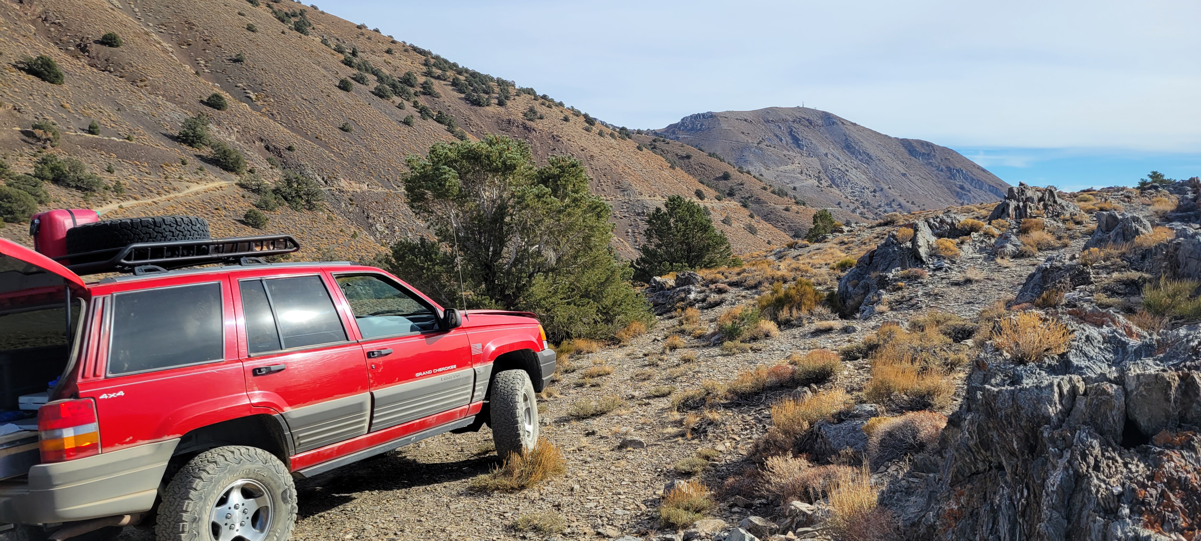
We drove north out of town along the ridgeline looking for a spot with a view to eat lunch. What we found was a trail that was more nerve-racking than scenic, at least from behind the wheel. Let the angle of the truck in the photo tell you how much pucker was involved. But the payoff was worth it: Owen's Lake spread out on one side, the Eastern Sierra on the other, and not another soul around.
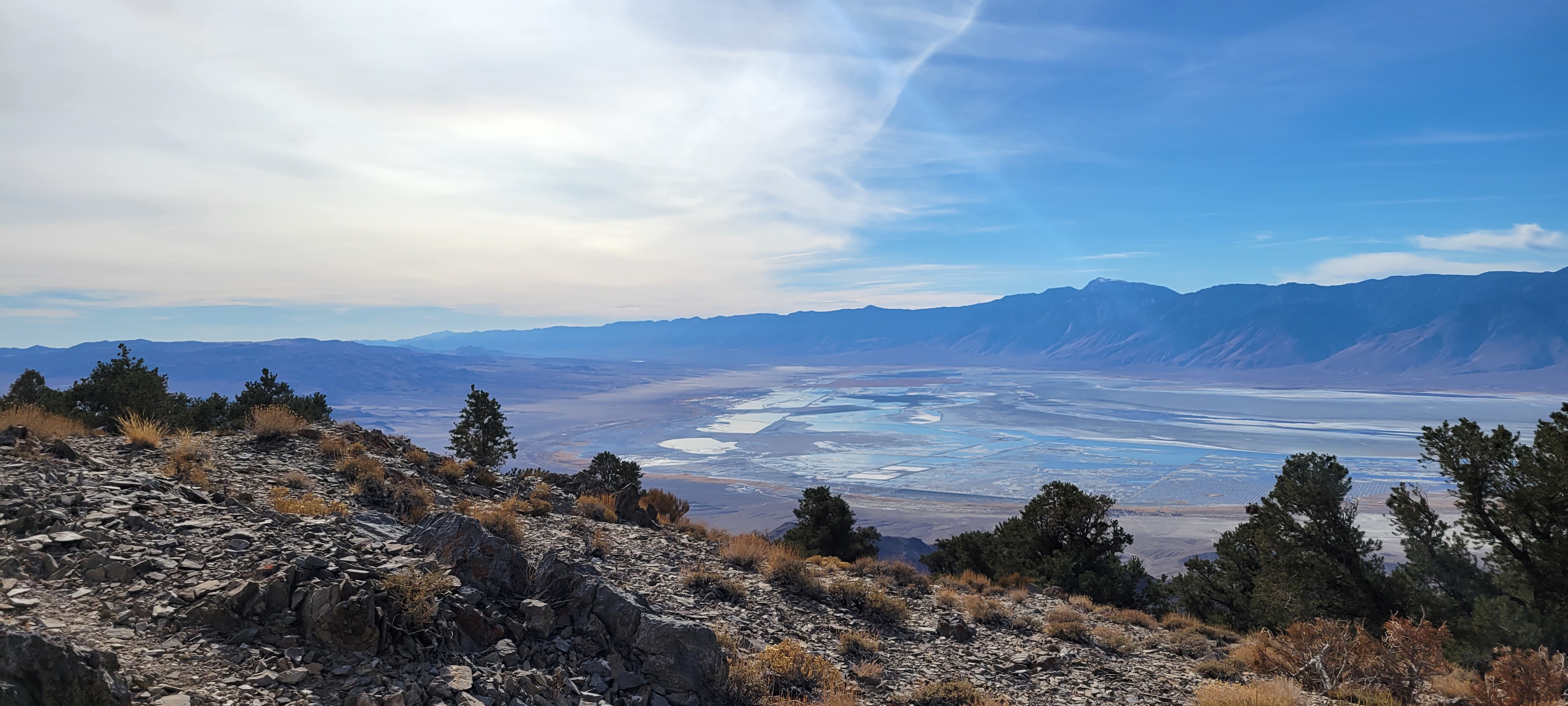
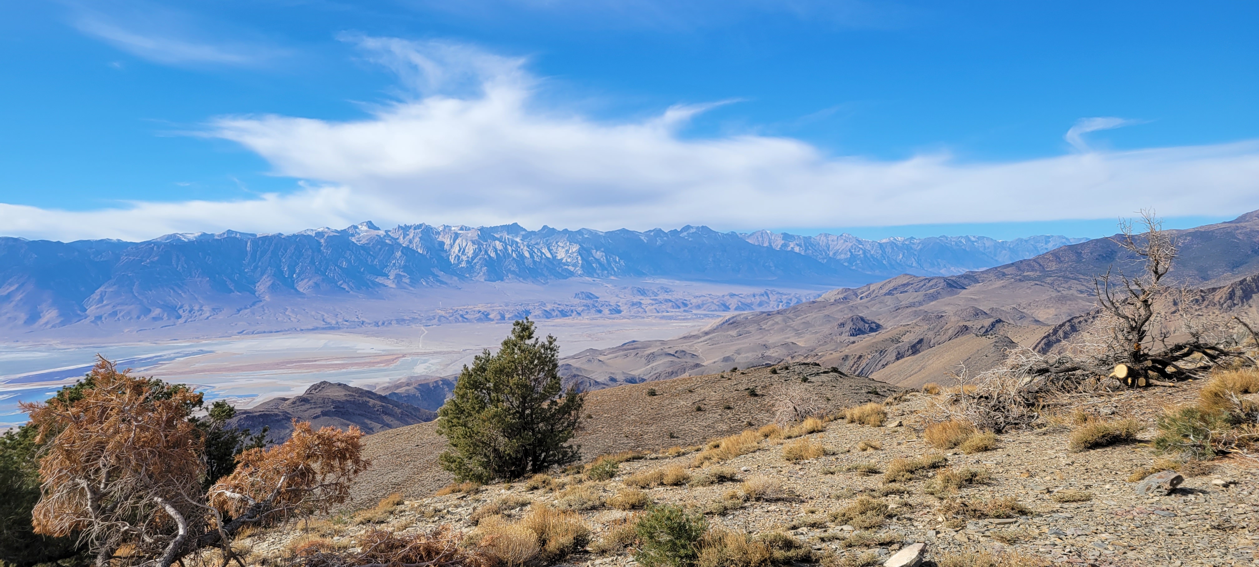
I've never been able to find a name or number for that trail, but if you kept heading north you'd eventually run into the old Salt Tram line. It connected the salt lake in Saline Valley to Owen's Lake on the other side of the Inyo Mountains. There are bound to be artifacts scattered all along it in the wilderness. An adventure for another day.
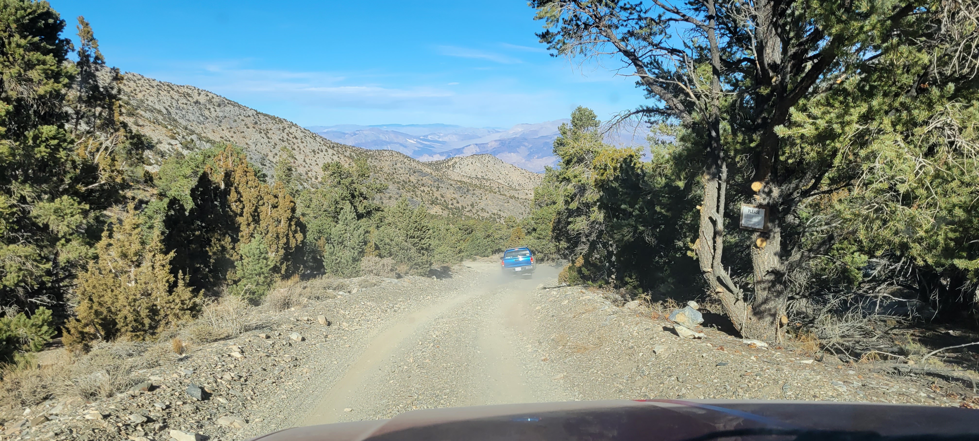
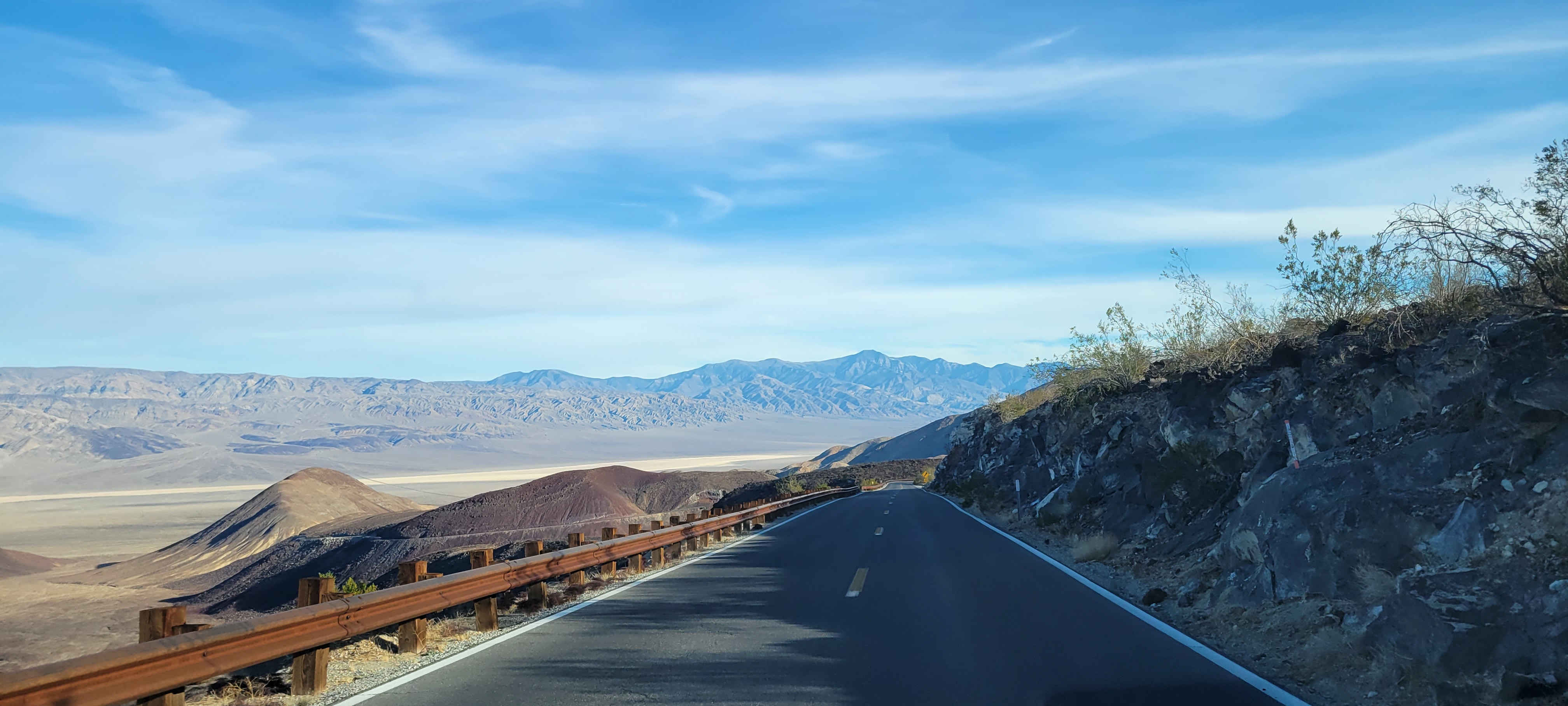
After lunch, we backtracked through Cerro Gordo and exited the mountain on the back side heading east. From there it was Saline Valley Road to Highway 190, a short cruise to Panamint Springs, and then south on Panamint Valley Road toward the Nadeau Trail. The closer we got to the Minnietta Mine Cabin, the rougher the road got and the faster I drove. I remember pushing the truck harder than I should have, racing to see if the cabin was already claimed for the night. It wasn't. The relief was real.
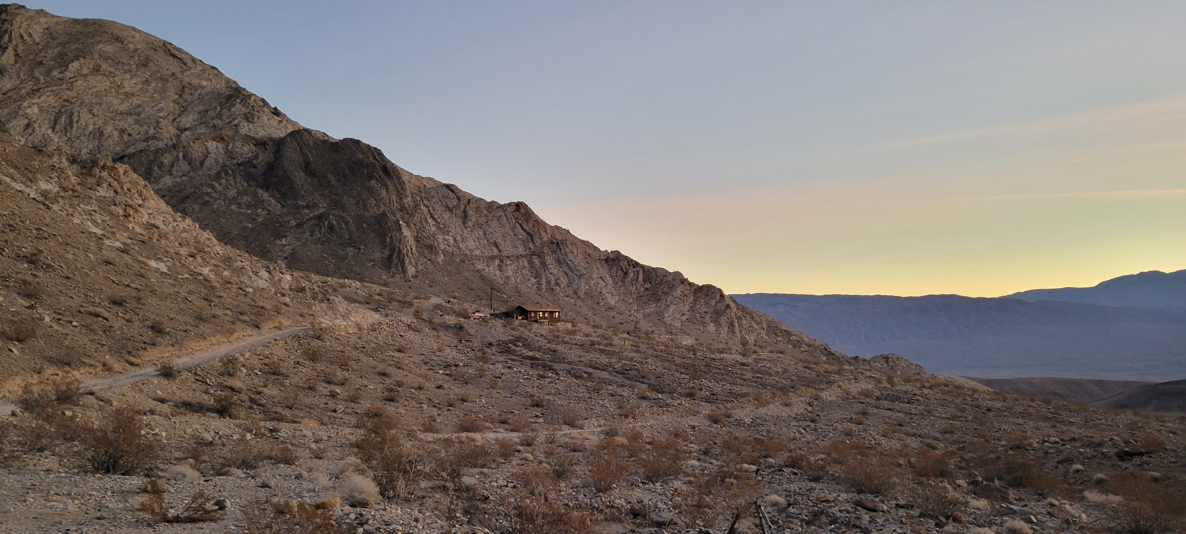
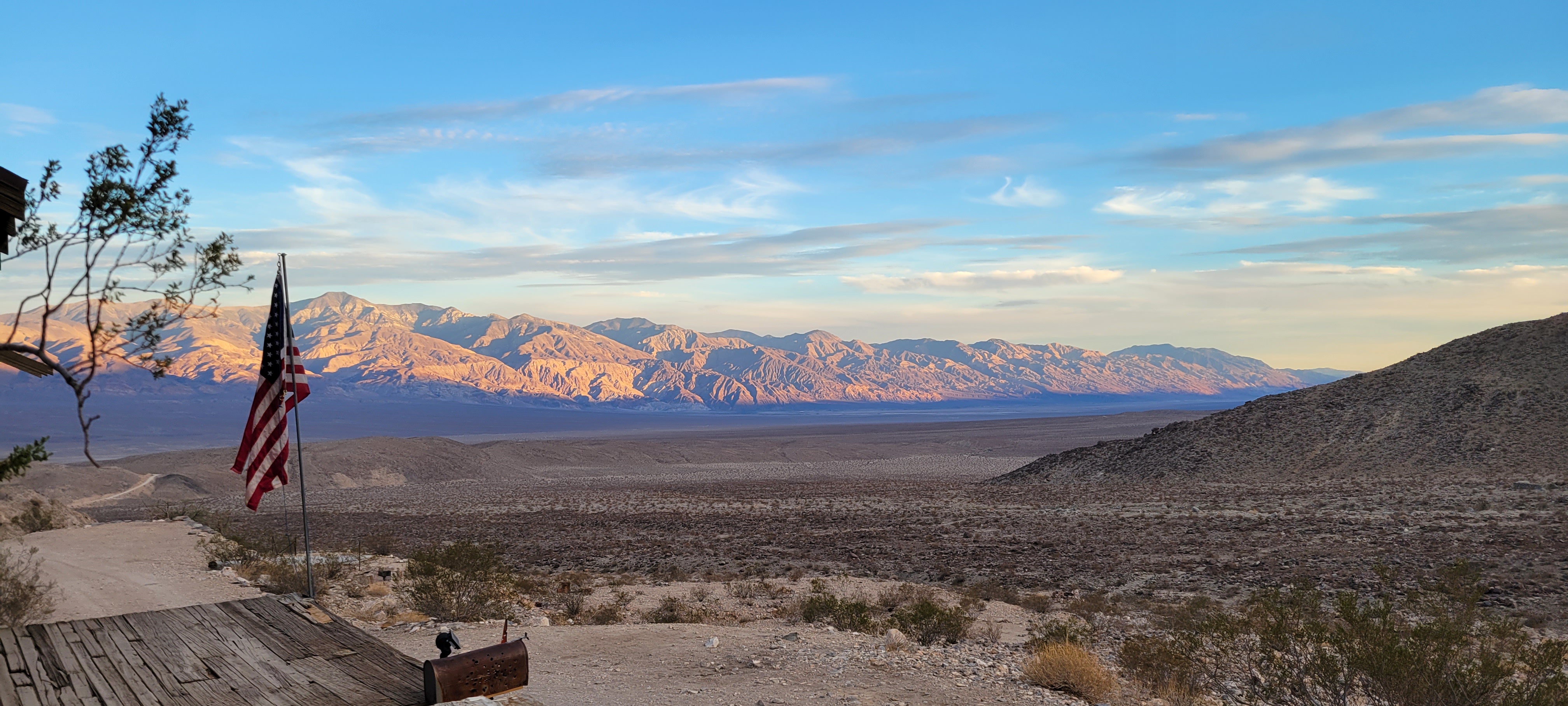
Being back at the cabin after about ten months felt like visiting an old friend's house. We walked the property slowly, noticing what had changed and what hadn't. As the sun dropped and the hunger set in, we got the fire pit going and cooked burgers over the open flame. The cool night air, the crackle of the fire, and nowhere to be in the morning. That's the formula.